Route
Deprecated
We suggest to use Route v4 API for new integration. Route v1.1 API will be deprecated in the future.
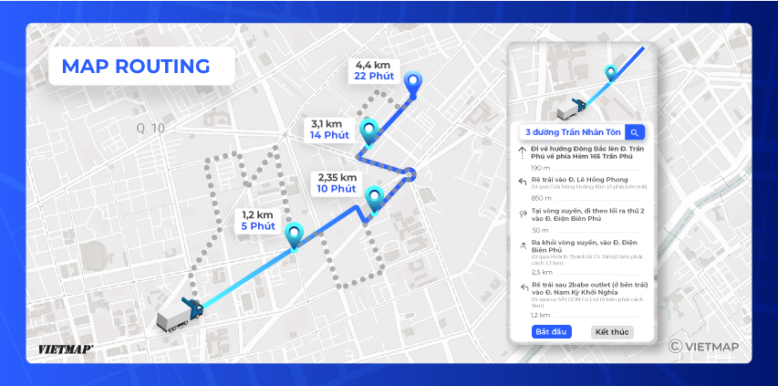
A Route Maps API is a feature provided by VIETMAP that allows developers to calculate and display the optimal route between two or more locations on a map. With a Route Maps API, developers can specify the start and end points of a journey, along with any additional constraints such as preferred mode of transportation, and retrieve a detailed route that can be displayed on a map. The API may also provide information such as the total distance, estimated travel time, and turn-by-turn directions. Developers can use Route Maps APIs to create applications that help with navigation, transportation planning, and logistics management.
Playground
You can test the Route API in our VietMap Route API Playground.
URL
https://maps.vietmap.vn/api/route?api-version=1.1&apikey={your-apikey}&point={point}&point={point}&points_encoded={points_encoded}&vehicle={vehicle}
Method
GET
Parameters
| Parameter | Type | Required | Default | Description |
|---|---|---|---|---|
| point | array string | yes | none | The points for which the route should be calculated. Format: [latitude,longitude]. Specify at least an origin and a destination. Via points are possible. The maximum number depends on your plan. Example query: &point=lat,lng |
| points_encoded | boolean | no | true | Allows changing the encoding of location data in the response. The default is polyline encoding, which is compact but requires special client code to unpack. Set this parameter to false to switch the encoding to simple coordinate pairs like [lon,lat]. See the description of the response format for more information. We suggest this query should receive true value to decrease the size of the response JSON. |
| vehicle | string | no | car | Enum: car, bike, foot, motorcycle. Config the vehicle profiles for which the route should be calculated. |
| optimize | string | no | false | Execute TSP if the value = true. Under normal case, please do not enable this parameter |
| avoid | string | no | null | Avoid a specific road types, such as ferry. Currently, this parameter is only enabled for the motorcycle vehicle type. |
Example
Input
https://maps.vietmap.vn/api/route?api-version=1.1&apikey={your-apikey}&point=10.79628438955497,106.70592293472612&point=10.801891047584164,106.70660958023404&vehicle=motorcycle
{
    "license": "vietmap",
    "code": "OK",
    "messages": null,
    "paths": [
        {
            "distance": 2194.4,
            "weight": 351.4,
            "time": 351400,
            "transfers": 0,
            "points_encoded": true,
            "bbox": [
                106.70594,
                10.79479,
                106.71154,
                10.80325
            ],
            "points": "}s{`Ac_hjSjAkCFQRu@Lu@F_@D]Ng@ZaALa@JY~AoDDEmBiBe@[WMg@M_@KmA]uA_@a@KkA]qA[[Gs@MUE_AKu@Co@Ew@CYAmAGeBKaAEsAKCQMQUGM?KBIFGHCJoBO{@Ck@AQ@MZAJAjAG|ACz@MnCEnAGlBCx@EjA?\\EvAEjBE~@Cr@F?HqBv@DBSDIBAl@HFADAVSD@JLB@h@BDADEDAJ@",
            "instructions": [
                {
                    "distance": 403.4,
                    "heading": 0,
                    "sign": 0,
                    "interval": [
                        0,
                        11
                    ],
                    "text": "Tiếp tục theo Nguyễn Cửu Vân",
                    "time": 54800,
                    "street_name": "Nguyễn Cửu Vân",
                    "last_heading": null
                },
                /// More guide direction here
                {
                    "distance": 58.7,
                    "heading": 0,
                    "sign": 0,
                    "interval": [
                        71,
                        79
                    ],
                    "text": "Tiếp tục theo Đường Không Tên",
                    "time": 26300,
                    "street_name": "Đường Không Tên",
                    "last_heading": null
                },
                {
                    "distance": 0,
                    "heading": 0,
                    "sign": 4,
                    "interval": [
                        79,
                        79
                    ],
                    "text": "Đích đến",
                    "time": 0,
                    "street_name": "Đường Không Tên",
                    "last_heading": null
                }
            ],
            "snapped_waypoints": "c_hjS}s{`AeDab@"
        }
    ]
}
Response description
| Parameter | Type | Description |
|---|---|---|
| license | string | License type associated with the routing data |
| code | string | Status code indicating the success or failure of the request |
| messages | string | Additional messages related to the request (if any) |
| paths | array | Array containing route information including distance, time, etc. |
For each route in the paths array:
| Sub-Parameter | Type | Description |
|---|---|---|
| distance | number | Total distance of the route (in meters) |
| weight | number | Weight assigned to the route |
| time | int | Total time required for the route (in milliseconds) |
| transfers | int | Number of transfers required for the route |
| points_encoded | boolean | Whether the points and snapped_waypoints fields are polyline-encoded strings rather than JSON arrays of coordinates |
| bbox | array | The bounding box of the route geometry. Format: [minLon, minLat, maxLon, maxLat] |
| points | string | Encoded points representing the route using google polyline 5 format. If the points_encoded is false, points will response a list of [lat,lng] format. |
| instructions | array | Array containing turn-by-turn navigation instructions |
| snapped_waypoints | string | Snapped waypoints representing the route (if available) |
For each navigation instruction in the instructions array:
| Sub-Parameter | Type | Description |
|---|---|---|
| distance | double | Distance until the next instruction (in meters) |
| heading | int | Heading direction of the instruction (if available) |
| sign | int | Direction sign of the instruction, sign description here |
| interval | array | Two indices into points, referring to the beginning and the end of the segment of the route this instruction refers to. |
| text | string | A description what the user has to do in order to follow the route. |
| time | int | The duration for this instruction, in milliseconds. |
| street_name | string | The name of the street to turn onto in order to follow the route. |
| last_heading | null | Last heading direction of the instruction (if available) |